WE live on a dynamic earth, with lithosfera plates that continuely move, producing earthquakes, volcanic activity, and tectonic activity along the fault lines. They trigger the occurrence of landslides, mudflows and tsunamis. On the other hand, the Indonesian archipelago is on a meeting of the Eurasian Plate, the Indian-Australian plate, and the Pacific plate that is urging each other. The implication of the plates meeting is the formation of active volcanic circumsides, fold mountain ranges, active faults, and tectonic earthquake sources. Earthquakes as the most frequent casualties are shallow earthquakes, such as those that occurred in Jogjakarta and Klaten in 2006. The earthquakes originating from the seabed, with a force of more than 6.5 on the Richter scale potentially produce tsunamis, for example in Aceh 2004, and Palu 2018.
Volcanic eruptions are generally associated with two lithospheric plates that collide each other. In this event, the plate with larger BJ will infiltrate below the other, so at a depth of 75 km - 175 km, part of the lithosphere that infiltrates will melt to form magma. When this magma soars up, it reaches the surface, forming a volcano. Volcanic activity can produce bursts of dust and ash, bursts of rock, toxic hot clouds, and secondary threats in the form of lava.
Landslides are natural events that sometimes involve human activities. Soil mass and rock will erode if the driving force affected by the material gravity exceeds the retaining force. The factors that influence it are for example climate, topography, lithology, stratigraphy, geological structure, and vegetation. Steep slopes, erosion, loading (eg by water or buildings), and human activities often trigger the landslides. Historical records prove that the territory of Indonesia except Kalimantan, has never been separated from the disaster, including the collapse of major kingdoms in Indonesia which allegedly collapsed due to an earthquake and buried volcanic deposits of volcanoes.
At this time, a new era, known as the 4.0 industrial revolution, is penetrating the lives of the world community. It affects the entire community. The industrial revolution 4.0 which is suspected to have occurred since 2015 has a disruptive character. The situation changes rapidly, the security is suddenly disturbed, uncertain, difficult to predict. The use of digital technology is in almost all aspects of life. The use of internet and information / communication networks has been intensive and massive. Various physical activities are replaced by virtual methods, the role of humans is diverted to machines or robots, jobs that used to require media are not currently using them anymore, do not require space, but instead shorten the distance. Most businesses offer, sell products, and transact online. All forms of information can easily be obtained through cyberspace.
The values ??offered by the 4.0 industrial revolution in disaster mitigation are all fast, easy, practical, more efficient, and low cost. However, the stakeholders in carrying out their duties are increasingly demanded to have social skills with technology-based information.
The disaster mitigation needs communication. At present, the use of digital information technology tools has reached various groups, does not differentiate gender, age, or social environment. The community does not differentiate gender which is thought to have been fluent in utilizing information technology and social media. Therefore, the disaster mitigation needs to empower this potential along with massive data utilization.
The examples that the National Disaster Management Agency (BNPB) has done are correct, namely developing a disaster risk reduction information system with digital technology called INARISK. The program is a mitigation portal that provides information about threats, vulnerabilities, capacities and disaster risks. This system can also display an index of disaster risk monitoring. In accordance with the demands of the industrial revolution 4.0, INARISK can be accessed by using an android application operated by cellular phones, and using the internet network using personal computers or other gadgets. All parties can do it. By operating INARISK, one can find out, for example, the potential natural disasters that are threats, and the vulnerability of the area in which they live.
In Karo Regency, North Sumatra, UPN Veteran Jogjakarta built an SMS-based environmental communication system for early warning of the eruption of Mount Sinabung. In this system, the community can report the occurrence of volcanic symptoms of Mount Sinabung to the operators using SMS, then the operator will report to the authorities for having actions. The dissemination of action instructions is also carried out via SMS. This system is an information system prototype that can be further developed into a virtual-based information system that matches to the era of industrial revolution 4.0.
The obstacle for implementing the digital-based disaster mitigation lies in the capacity of human resources which turns out that not all have been literate in digital technology although this technology saves space, eliminates distance, speeds up time and therefore it becomes cheaper compared to the conventional mitigation technology. Thus, the socialization needs to be carried out intensively through various programs. The efforts that can be carried out include 1) building public awareness and understanding of the threats around; 2) increasing public awareness of disasters through education, research and social-community sectors; 3) increasing the use of information technology in its dissemination. The disaster mitigation programs in the future must be visionary, but down to earth, so that they are easily implemented, and people can avoid greater risks.
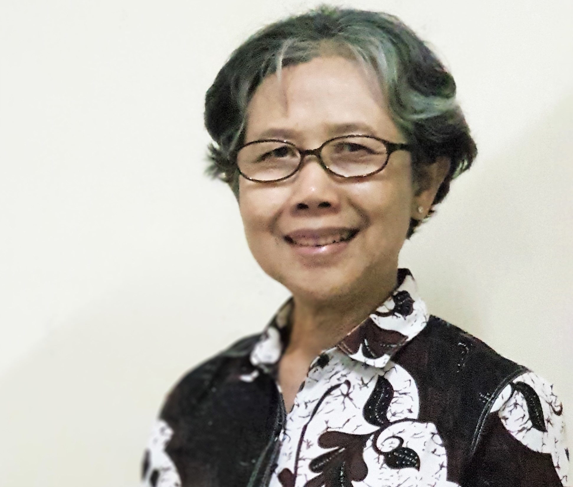
By. Prof. Dr. Sari Bahagiarti, Professor of the Faculty of Mineral Technology at UPN "Veteran" Yogyakarta
https://radarjogja.jawapos.com/2019/05/16/mitigasi-bencana-di-era-industri-4-0/
---------------
Jl. SWK 104 (Lingkar Utara), Condongcatur, Yogyakarta 55283 (Kampus Pusat)
Jl. Babarsari 2 Yogyakarta 55281(Kampus Unit II) | Telp. +62 274 486733


